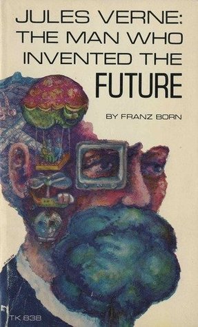
Just when I thought I had exhausted all the intersections of interest that I had with Jules Verne, I discover a new one—Maps and Cartography.
Why do I love to construct maps and the study of cartography so much? Perhaps it is the possibility of travel to world’s unknown, civilizations unknown, languages unknown? Or is it because I like boundaries and constructs? I fondly remember making maps in Social Studies in my formidable years. Perhaps, I need to consult my daughter who is a Clinical Psychologist to gain more insight!
When I travel to Paris, I always construct a map of my Paris walks for that day. While I am following my sometimes-hard-to-read and not-to-scale hand-drawn maps, my sweet husband is following the GPS on his Iphone.

In preparing for this blog, I decided to look into taking a Continuing Ed course in Geographical Cartography, the old-school study of World maps; unfortunately, the curriculum is now centered around digital mapping of Geoinformatics, GPS, etc. I am a century too late.
How can one follow Captain Nemo aboard the Nautilus in 20,000 Leagues Under the Sea without assistance of the world map drafted by Verne? Or imagine the geological journey to the center of the Earth from the starting point of the Snaefellsjökull volcano in Iceland?

So cool, so cool.
In Terry Harpold’s article, “Verne’s Cartographies” (Jules Verne Centenary, 2005), we learn that, unlike the “tiresome canard” that Jules Verne never traveled far from his home in Nantes, Paris, Crotoy or Amiens, Verne traveled abroad on many occasions. His first trips abroad were by steamship to England and Scotland. Soon after he traveled to Denmark and Norway, New York and Niagara, United States in 1867 with his brother Paul on the ship the Great Eastern. He also traveled along the Seine and coasts of France on his modest sailing yachts Saint Michel I and II. In 1877 he boarded the Saint Michel III for Ireland, the Netherlands, Germany, Spain and the north and south Mediterranean and Baltic Seas (18,19). Verne was a true world traveler who was inspired to share his adventures with the world.

Unfortunately, due to failing health beginning in 1880, he was then forced to sell his yacht and spend his remaining days in Amiens, France. He continued to write and published the following stories after these world travels: Master of the World, Two Years Vacation, Rober the Conqueror, Eight Hundred Legions on the Amazon, An Antarctic Mystery, The Castle Transylvania, The Lighthouse, Facing the Flag, The Purchase of the North Pole, Invasion of the Sea among many others. Perhaps he was able to have more time to write as he was not traveling as much.
How many of my readers can join me in saying that during the Covid pandemic, we have been restricted from International travel over the past two years? While this has been a disappointment, at least we have great memories of pre-Covid adventures in discovering new lands, cultures, languages, and gastronomy that we can reflect on, synthesize, and publish blog posts and pictures about these wonderful opportunities. In addition, this forced quarantine has allowed me much more time to read many great works from my favorite authors, specifically Jules Verne!
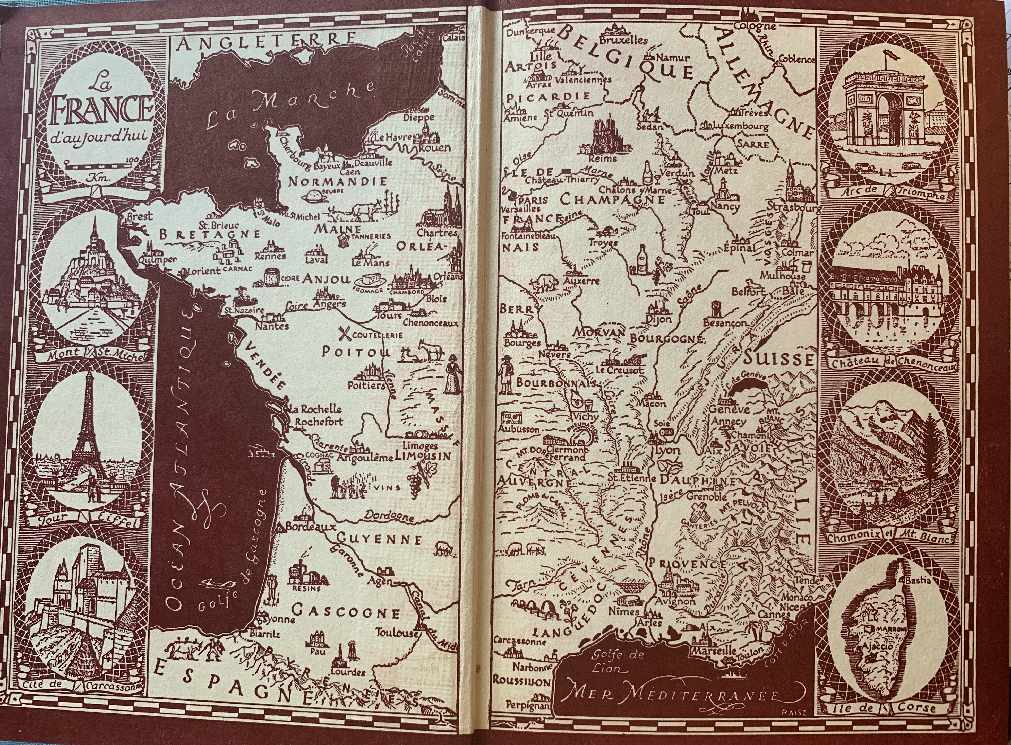
Back to the maps! While I do love to study and construct maps, I do not have a thorough understanding of the methods of cartography as Jules Verne did. While Verne’s nonfiction works The Adventures of Three Russians and Three Englishmen (1872) embrace the technical problems of cartography and geodesy, most of his fiction display “pragmatic applications of mapmaking (documentation, navigation, mimesis) and its literary functions (verisimilitude, projection of imaginary, narration) (19).”
How can one find these treasured maps (see what I did there?) of Jules Verne?
The good news is that thirty of the novels in the 47-volume octavo editions of the Voyages Extraordinaires published by Pierre-Jules Hetzel include 47 such engravings!! The six volumes of Verne’s published nonfiction on history and geography include dozens more political, topographic, and oceanographic maps and charts. The not so good news, the French edition of Voyages Extraordinaires are not available in the U.S. and would cost a fortune to ship from France (various stories and novels have been translated in to a “watered down version” of English).
[Claude Petel includes a comprehensive list of the maps of the Hetzel editions in La Cartographie des Voyages Extraordinaires, but I could not find this work in a print edition on any online used book sellers. I found some images of these maps online, but the maps are blurry and hard to make out.]
Why are these maps so important?
According to Harpold, the Illustrations of Verne: supports and sustains the textual register of the work; adds value to the presentation of it; the essence of the textual work is its semantic content and the role as author of both text and image is very distinct in works of this time period. “The scientific romance is sustained by set-theoretical antinomies such as this”(20). Verne often drew original charts and maps of his characters’ itineraries during the composition of his novels.
As I was reading 20,000 Leagues, I imagined the nautical map to be that of Aronnax’s memoire, not Jules Verne. Verne never goes so far as to permit his characters to cross out of their world into his.
Verne was a passionate and lifelong devotee of geography and cartography and was awarded school prizes in geography in Nantes (22). He was an uncommonly disciplined and comprehensive reader of newspapers, magazines, and scientific journals and, upon his death, his personal library was cataloged with over 700 volumes with many titles relating to descriptive geography and exploration. A good reminder that a strong imagination is not enough! It must be fed by literacy and scholarship.
Exactly one hundred years before Neil Armstrong took the first footstep on the moon, Jules Verne imagined this journey and wrote From the Earth to the Moon (1869). Images from the Lunik III lunar reconnaissance in 1959, show a map of the moon’s dark side, showing the crater Jules Verne, in tribute to his vision.
WORKS CITED
Harpold, Terry. Verne’s Cartographies. Science Fiction Studies , Mar., 2005, Vol. 32, No. 1, A Jules Verne Centenary (Mar., 2005), pp. 18-42 Published by: SF-TH Inc Stable URL: https://www.jstor.org/stable/4241319

I never realized that Verne was so much ahead of his time. Without doubt his imagination was otherworldly. It is hard as a modern man with the wealth of information we take for granted to imagine his ability to see the world through his eyes.
What about those maps? How cool to draw an imaginary world and make it come to life through story telling? So cool. Thank you for letting me hang my treasured maps around our home. You are too good to me.